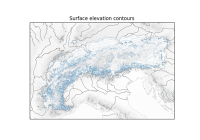
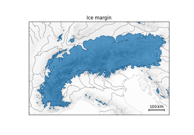
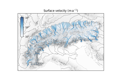
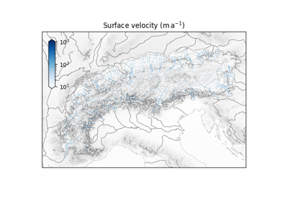
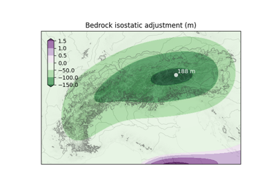
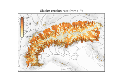
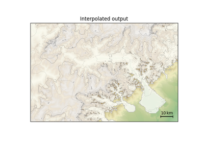
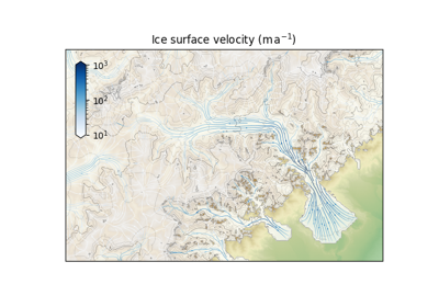
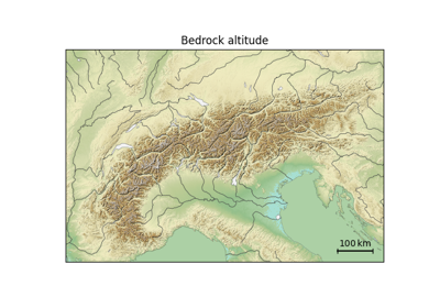
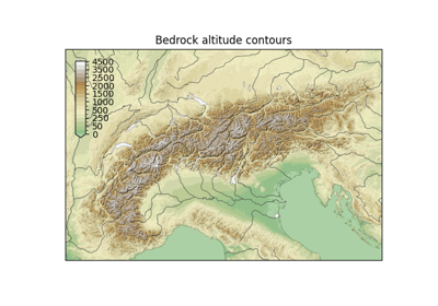
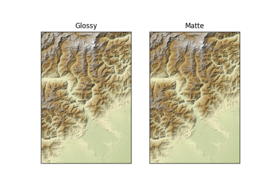
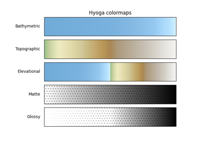
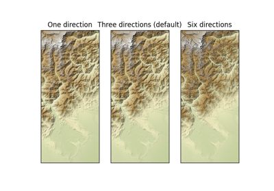
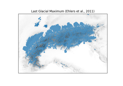
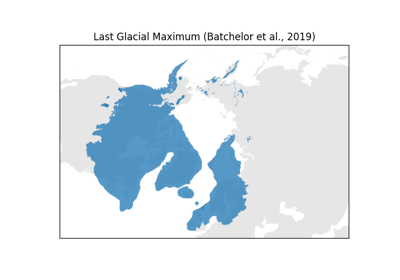
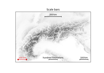
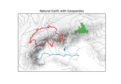
Examples gallery# This gallery gives an overview of hyoga’s evolving plotting functionality. Click on an image to see the source code used to generate it. Glacier data# Surface contours Surface contours Ice margin Ice margin Surface velocity Surface velocity Surface streamplot Surface streamplot Bedrock isostasy Bedrock isostasy Bedrock erosion Bedrock erosion Interpolation# Interpolated with surface topo Interpolated with surface topo Interpolated streamplot Interpolated streamplot Profile interpolation Profile interpolation Grid refinement Grid refinement Shaded relief# Bedrock altitude Bedrock altitude Bedrock altitude contours Bedrock altitude contours Hillshade colormaps Hillshade colormaps Colormap reference Colormap reference Multidirectional hillshade Multidirectional hillshade Vector graphics# Alpine paleoglaciers Alpine paleoglaciers Arctic paleoglaciers Arctic paleoglaciers Scale bars Scale bars Natural Earth and GeoPandas Natural Earth and GeoPandas Hyoga logo# Hyoga logo Hyoga logo Gallery generated by Sphinx-Gallery